
So the weather forecasters on the TV were all in a tizz over the storm that was heading our way for today Monday.
UpDate: The papers and tv weather people can’t stop talking about the storm that hit us Monday??? What storm, there were winds in town here around 70-90km, sure inland and up the coast they had sort of decent winds of 120km but still. Trees were down and 2 days later 30,000 people are still without power just south of here?
Backing the buss up a little, the weather is presented here in a very different way as to what we are used to in NZ. Indeed the average Kiwi at least has some idea what a weather map. It contains fronts, isobars, Highs and Lows and arrows denoting wind direction. We are also relatively well educated on what this all means. Take for instance Tuesday’s map for midnight NZ.
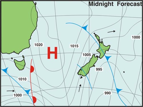
This map is relatively simple to decode. There is a font crossing over the North Island, with a trough hitting the bottom of the South Island. The isobars are more or less vertical, so there will be cold air drawn up from the south, Invercargill is not the place to be tonight, nor for that fact the Catlins or even WGTN. The weather should be quite unsettled too.
Now take a look at this baby. Same isobar map, same day, location entire Canada.
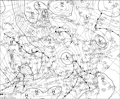
I don’t know about you (and I have a degree in this stuff), where the heck is Canada, and what is going on?
Continue reading
